Before You Choose a Street
Port Orford’s Areas, and What Differs Between Them
The Port Orford town guide covers dining, lodging, beaches and attractions. This page is for the other questions: which services you will rely on, which official tools to check, and what to ask before you make an offer. The official sources linked below are the place to confirm any detail.
Port Orford is a very small city, and some services here come from other places. The hospital is in Gold Beach, and county rules apply outside the city. We say so plainly below. For the character of each area see the town guide’s areas list and the living-here guide; below is what to check.
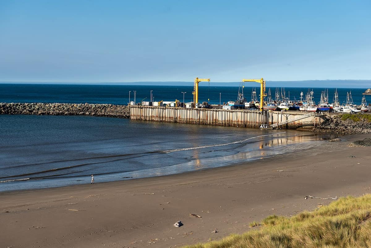
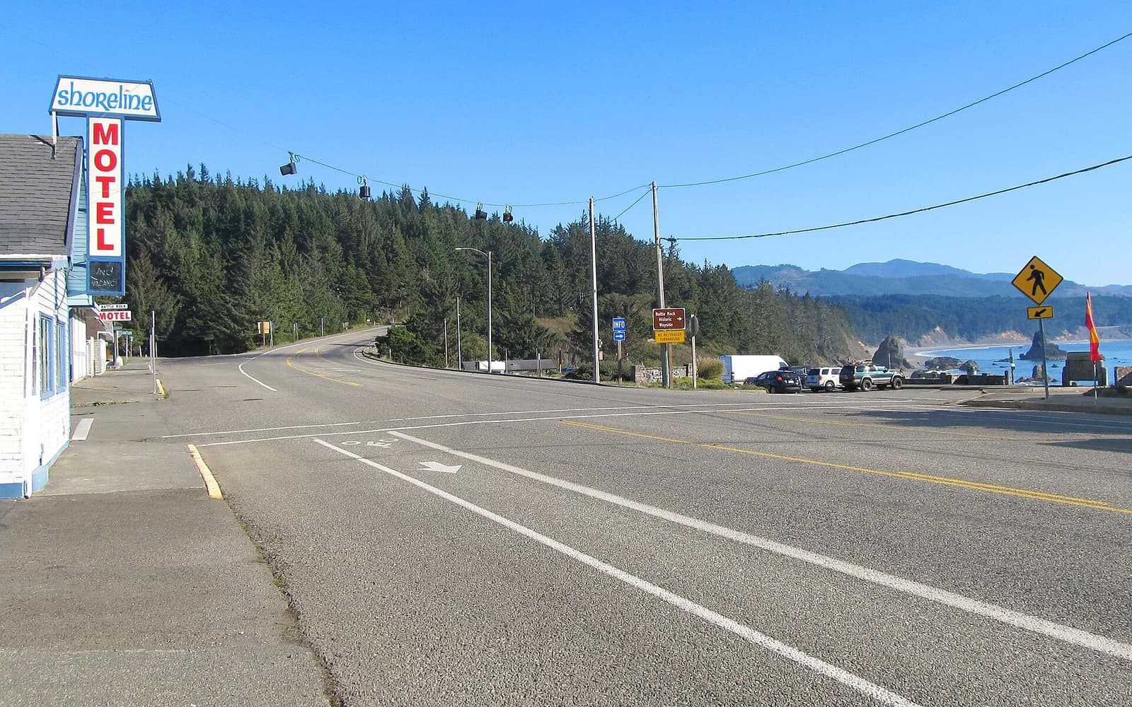
- Downtown & Battle Rock Waterfront — The compact commercial core near the working port. Low-lying addresses deserve the closest look at the city’s evacuation guidance and FEMA flood mapping.
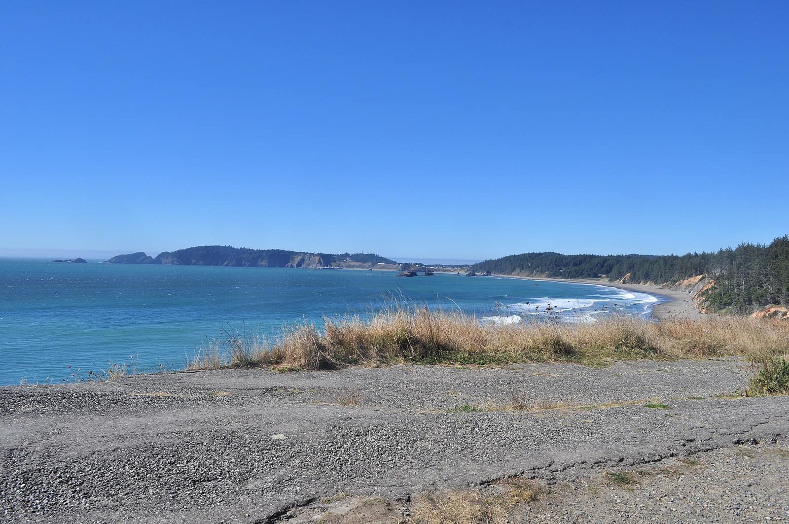
- The Head (Port Orford Heads) — The headland north of the boat basin. Bluff-edge homes are where erosion and landslide mapping matters most (see DOGAMI’s HazVu below).
- Garrison Lake area — Properties by the lake behind the beach dunes. Check flood mapping and the evacuation route for the exact address.
- Humbug Mountain area — South of town and possibly outside city limits, so confirm whether city or county rules, water and sewer apply.
- Rural Curry County inland — Acreage and rural homes in the hills. Expect a private well and septic system to be possibilities, and ask about road access in winter. The outdoor guide shows the surrounding country.